
Cozumel weather: what the monthly figures tell you
Cozumel weather planning works better when you separate historical monthly statistics from the conditions for your own outing. The local SMN/CONAGUA table below helps compare rainfall and average daytime highs and overnight lows. It describes a station on Cozumel, rather than substituting measurements from the mainland. For a particular boat departure, use the operating information for your visit date.
The figures come from station 23048, Cozumel (DGE), in an edition issued on 2 October 2026. The underlying monthly records span 1994 to 2026 with missing years and months. These are the published MEDIA rows, not a complete thirty-year climate normal. Keep that limitation in mind when using differences between months to choose travel dates or arrange your island activities.

Read temperature and rain differently
A mean daily maximum is the average of daytime high temperatures in the available records. A mean daily minimum concerns the daily lows. Neither is an absolute temperature record, nor a promise about a particular afternoon or night. The rainfall column describes monthly totals averaged across the available observations; it is not the amount expected during your stay.
In this incomplete local series, February to April are relatively less rainy than June and September or October. October has the highest rainfall mean shown. That is useful context when rain affects your preferences, but it does not allocate wet and dry hours to your itinerary. A lower monthly total is not a guarantee of a dry boat day.
Use the table to compare the kind of trip you want, then leave room to change the order of your activities. A land-based visit and a snorkeling departure depend on different practical decisions. Our best time to visit guide turns those seasonal considerations into activity choices without repeating the full table.
A shorter water outing
This boat outing includes guided snorkeling, subject to suitable conditions.
Hand-picked tours, booked through Viator. Prices are indicative starting prices in US dollars (as of November 2026). Tap a tour for live availability and the current price in your currency.
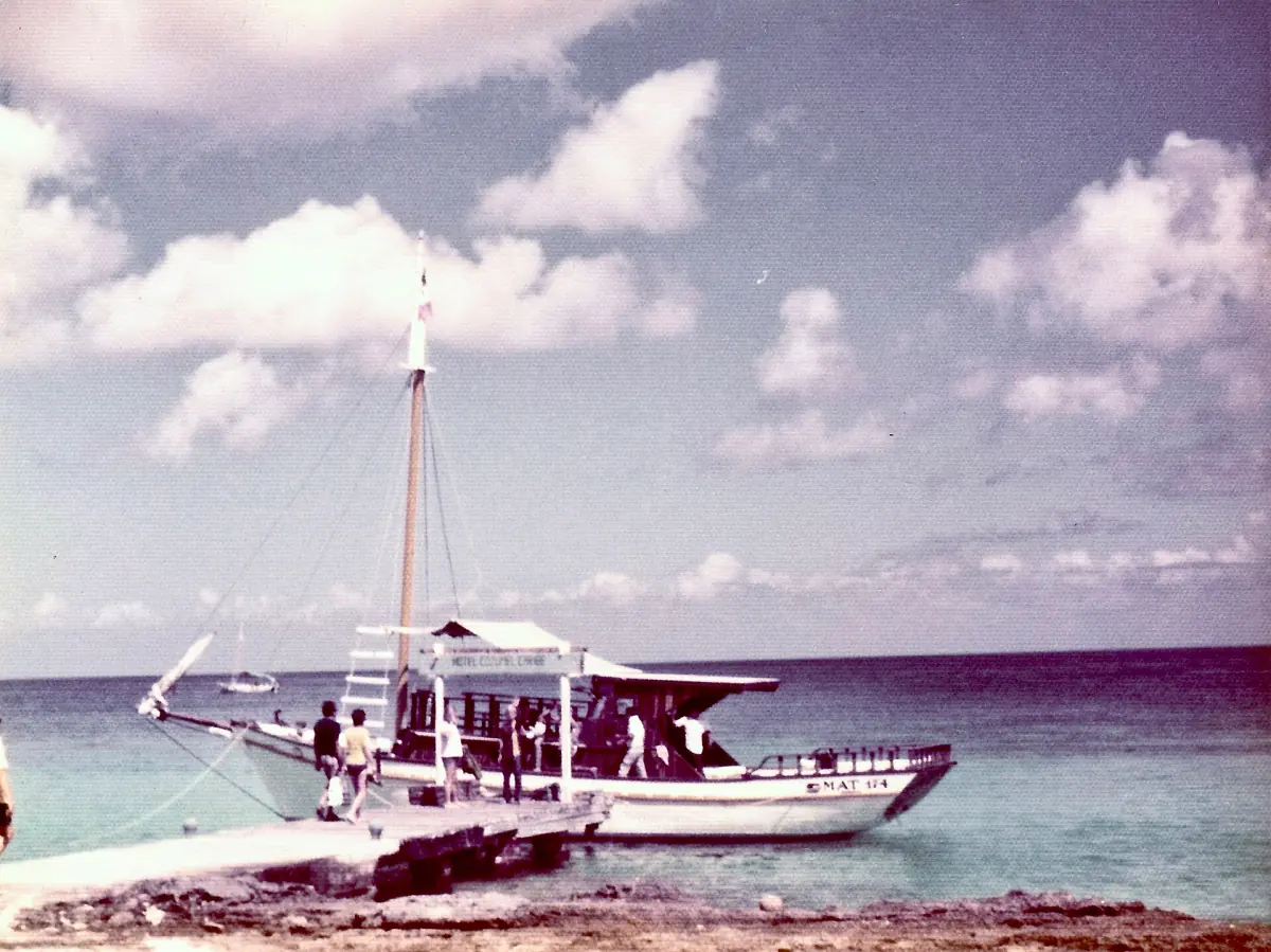
A short snorkeling outing
A clear-boat experience with a guided reef stop and equipment for a day with suitable sea conditions.
Local monthly statistics for Cozumel
| Month | Mean daily high °C | Mean daily low °C | Monthly rainfall mm |
|---|---|---|---|
| January | 30.1 | 20.9 | 96.2 |
| February | 31.2 | 21.3 | 48.8 |
| March | 32.0 | 22.2 | 53.9 |
| April | 33.1 | 23.5 | 53.4 |
| May | 33.9 | 24.6 | 85.0 |
| June | 33.7 | 25.2 | 194.2 |
| July | 34.9 | 25.6 | 92.0 |
| August | 34.8 | 25.7 | 136.9 |
| September | 34.6 | 25.3 | 184.9 |
| October | 33.2 | 24.6 | 250.4 |
| November | 31.5 | 23.0 | 171.5 |
| December | 30.7 | 21.8 | 118.1 |
Source: SMN/CONAGUA monthly statistics for Cozumel (DGE), issued 2 October 2026 and read on 8 November 2026. Missing observations mean the months should not be treated as if each had an identical, complete set of years. This is not the 1991 to 2020 normal series, and it is not a weather report for today.
Boat decisions need the day's information
For a sea outing, rain alone is not the operating decision. The harbour authority makes decisions about safe navigation in poor weather, and ferry operation also depends on operating capacity. A restriction affecting small excursion boats does not by itself mean the large passenger ferries are cancelled. Treat a message about a tour and a message about your crossing as separate pieces of information.
The short clear-boat snorkeling experience featured here includes a guided reef stop, snorkeling equipment, life jacket, fins, mask, water and sodas, with a captain and crew. It offers a compact water activity when conditions permit. Its short format does not turn it into an activity for unsuitable sea conditions. Plan your snorkeling outing around the operator's current instructions, rather than the colour of a monthly weather chart.
If you also have a mainland connection, consult the ferry planning page and keep enough flexibility around your crossing. The Atlantic hurricane season runs from 1 June to 30 November. Those dates are a preparedness calendar, rather than a prediction of an individual storm or assurance about dates outside the season.
Shoreline conditions and reef care
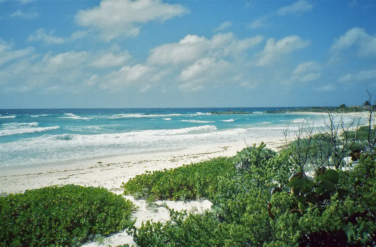
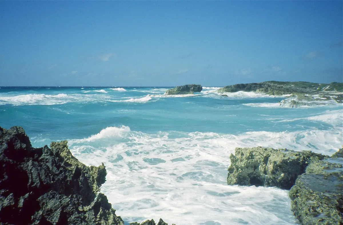
Assess algae on a beach separately from rain statistics. Satellite sargassum warnings and drift forecasts concern conditions at sea; they are different from a measurement at a particular stretch of sand. Choose a beach using current local conditions and access information. The beaches guide explains that distinction and the need to consider currents along the east coast.
For a national-park water activity, pack sun-protective clothing: CONANP prohibits sunscreen without a reef-safe exception. Avoid touching coral or disturbing wildlife. These preparations remain relevant whichever month you choose. They help you prepare for time outside without turning a climate statistic into a claim about visibility, water temperature or the sea state.
Questions for your stay
Does the table show today's weather?
No. It contains incomplete local monthly statistics issued on 2 October 2026. Use a current forecast and operating information for the date of your outing.
Which months look relatively less rainy?
February to April are less rainy than June and September or October in this particular series. A lower mean does not guarantee dry days.
Does a small-boat restriction cancel the ferry?
The services need separate attention. A restriction for small excursion boats alone does not establish cancellation of the large passenger ferries.